The Temescal Canyon Loop is a popular trail and is an ideal date hike because it’s the perfect length, it’s just the right difficulty level, it’s very close to civilization, and has some great views and interesting terrain. It’s a great way to spend a weekend morning with someone special!
The loop is 2.6 miles long with a 1000-foot elevation gain, so it should be no problem for anyone in moderately good health. The trail can get somewhat crowded (relatively speaking) on the weekends, so I recommend going in the morning if you can. I went a little after 9 AM and it wasn’t too bad.
What to Bring
Overall, Temescal has a bit more shade than most other trails in this area, which is great, but you should still have good sun protection. I highly recommend a hat and sunscreen, and some water of course. Check out my day-hike checklist for more info on what you should bring:
Dogs are only allowed along the bottom of the canyon in the park, not on the trail, so you’ll have to leave your pooch at home.
Getting There
The trailhead for the hike is inside Temescal Gateway Park, located at Sunset Blvd. and Temescal Canyon Road in Pacific Palisades. Most people will get there by going up PCH and turning inland on Temescal Canyon Road.
WARNING: The Parking Lot Is a Ticket Trap!!
Parking inside is $7. You put your money in an envelope, write your license number on it, tear off the flap, and place it in your dashboard. It’s somewhat of an honor system. If you want to avoid paying, you can park on the street.
While I love to support this park, there are traffic cameras everywhere that will catch you for the slightest traffic infraction. You WILL get a ticket if you fail to come to a complete stop at any stop sign in the park’s parking lot! It happened to me!
The Trail
Once you get to the trailhead, you’ll notice two ways to go up. The steeper way, Temescal Ridge Trail, with the wooden guard rails, is on the left. The “easy way”, Temescal Canyon Trail, is on the right. Most people go to the left because they don’t know any better, but I highly recommend going to the right. That path has a slightly shallower, more relaxed climb. Of course the destination is at the same altitude, either way you go, so you won’t miss anything.
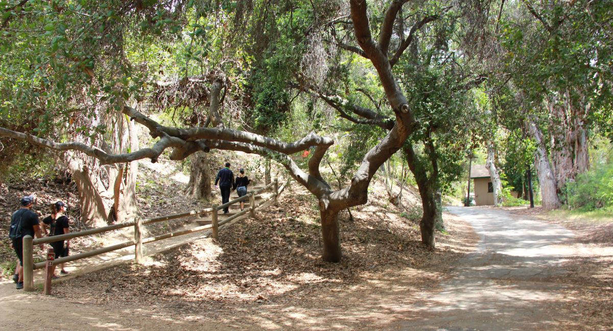
If you take the right-hand path (the Canyon trail), you’ll encounter the “Temescal Waterfall” about one mile in. It’s pretty much a joke. In our current drought, you’ll be lucky to see some water dripping into a stagnant pond. Just trying to temper your expectations.
The Best Makeout Point – Skull Rock
About halfway into the loop, the Temescal Canyon trail intersects Temescal Ridge trail. If you make a right at Ridge trail (instead of left to continue on the loop), it goes about 0.6 miles to “Skull Rock”. I recommend making this detour if you are up for the additional hike. For more details, check out this map showing the Canyon trail, Ridge trail, and Skull Rock. See what it looks like below:
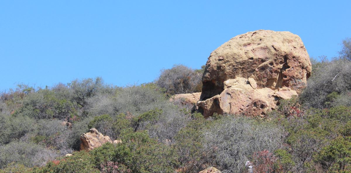
If you’re lucky, you can climb into the “eye” of the skull, which offers a great view and some privacy. It can only fit about two people, so once you claim it, you’ll have it to yourself. Enjoy!
To resume the loop, backtrack the same way you came, then continue on the Ridge trail.
The Peak
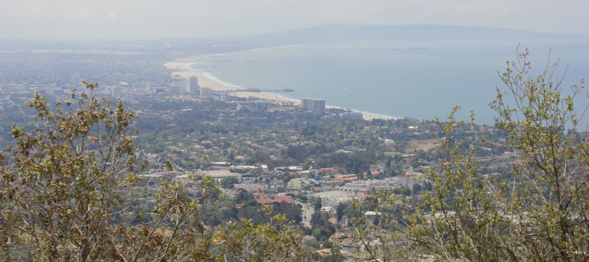
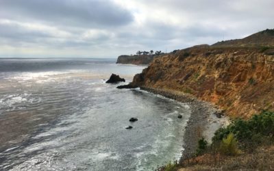
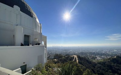
When you get to the peak, you should definitely stop to admire the view of the Pacific Ocean. You’ll be able to see from downtown LA to Santa Monica and the South Bay.
The Descent
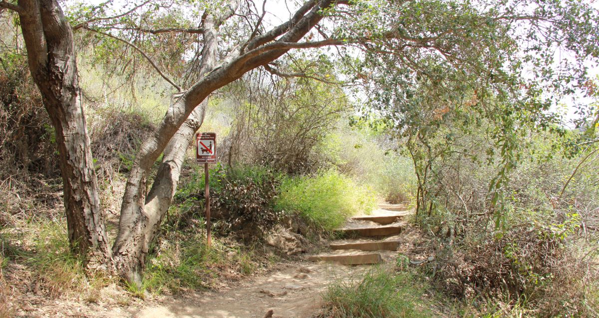
If you’ve taken my advice, you’ll be descending down a slightly steeper grade on the Ridge trail. But, this trail has much more solid, hard-packed dirt, so you can almost jog down. The trail coming up (Canyon) has a lot of loose gravel, by contrast. Yet another reason to go in this direction.
Afterward
When you reach the trailhead and start walking back to your car, you’ll notice lots of picnic tables. A cool idea would be to have a picnic after the hike.
If you prefer something more civilized, make a left on Sunset, and you’ll find lots of small cafes and charming restaurants around Swarthmore Ave. Here are some that I would recommend: Il Piccolo Ritrovo (pizza), Café Vida (healthy low-fat Latin), Cathay Palisades (Mandarin Chinese), Subway, Coffee Bean & Tea Leaf, Juice Crafters, Beech Street Café, Matthew’s Garden Café (charming hidden open-air venue featuring paninis, and vegan options), Noah’s Bagels, Kay ‘n Dave’s (Mexican), and Pearl Dragon (pan Asian).
If you want even more choices, Santa Monica is the next town over, offers a plethora of options.
To Sum Up
Overall, Temescal Canyon is a great hike to do with friends or someone special. It’s got great views, isn’t too difficult or long, and is close to civilization if you want to do something fun afterward!
What was your experience like a Temescal Canyon? What are your favorite hikes? Please leave a comment below! – Brian



Ask Me a Question or Leave a Comment